In this file
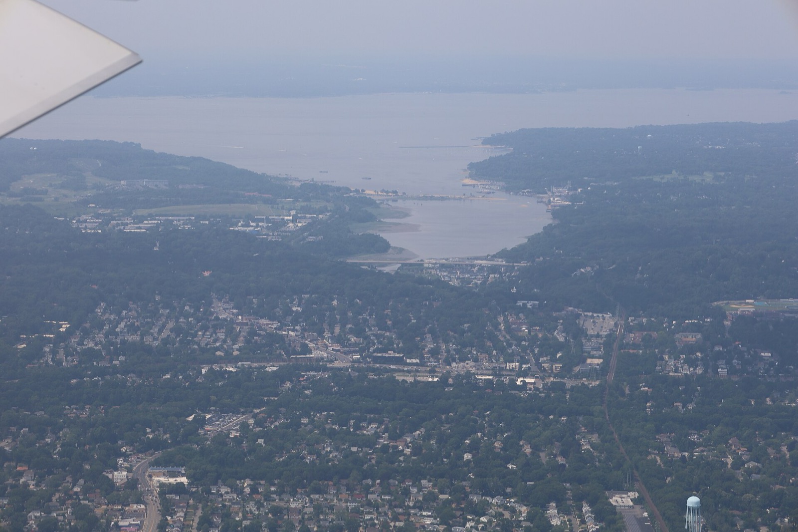
A flood zone is a defined geographic area with a specific flood hazard risk, and that zone feeds into a property’s individual flood risk and its insurance rates. This page covers what the letters mean, where the maps live and how the rules change over time. More buying guides cover the surrounding costs.
What are all the FEMA flood zones?
FEMA flood maps use five risk levels: low, moderate, high, coastal high and undetermined. FEMA assigns zone letters to those levels as follows.
| Zone letters | Risk level | What defines it |
|---|---|---|
| A, AE, AH, AO, AR, A99 | High | Proximity to a pond, stream, river or a protective barrier under construction |
| V, VE | High, coastal | Extra hazard from storm waves; 26% chance of flooding over a 30-year mortgage |
| B, X | Moderate | Shallow flooding, water usually under 1 foot deep or covering under 1 square mile |
| C, X | Lower | Minimal hazard, usually shown on a Flood Insurance Rate Map above the 500-year flood level |
| D | Undetermined | No flood hazard analysis conducted; insurance rates are proportionate to the uncertainty |
The high-risk line is statistical. Any place with a 1% or higher chance of flooding each year is considered high risk, and those areas face at least a one-in-four chance of flooding during a 30-year mortgage. FEMA’s list shows X in both the moderate and lower rows, and defines it once: Zone X is the area outside the 500-year flood limit and protected by a levee from 100-year floods. Zone C may have ponding and local drainage problems that do not warrant a detailed study or designation as base floodplain.
Lower risk is not no risk. Every flood zone carries some flood risk, and the question is how big. One in three flood insurance claims come from low and moderate-risk zones. “Undetermined risk” does not mean no risk; it means analysis has not yet been completed. Floods do not follow city limits or property lines and may not occur near a body of water at all.
High-risk flood areas, A or V on FEMA flood maps, face the highest risk of flooding. A zone is set by flood frequency, distance to a water source and several other factors. A flood map shows a community’s flood zone, floodplain boundaries and base flood elevation.
How to tell if a property is in a FEMA flood zone
The FEMA Flood Map Service Center is the online location for all flood hazard mapping products created under the National Flood Insurance Program, including a community’s flood map. Flood zones are indicated on that map. The FEMA flood maps page links to it.
Locally, the Town of Oyster Bay publishes FEMA flood map information through its Planning and Development department. Every community in the National Flood Insurance Program also has a floodplain administrator who works with FEMA during the mapping process.
A flood zone affects individual flood risk and insurance rates, so check annually for updates. FEMA is in the process of updating the Town of Oyster Bay flood maps, according to the town page seen on 2026-10-20.
Flood insurance and mortgages
The Town of Oyster Bay participates in the National Flood Insurance Program, which lets owners in designated Special Flood Hazard Areas buy flood insurance. An owner in a high-risk zone with a federally backed mortgage must buy flood insurance as a condition of the loan. In participating communities that applies to the A zones and to V and VE. Without a federally backed mortgage, flood insurance is still strongly recommended in a high-risk zone.
Zone D shows how uncertainty is priced: flood insurance rates there are proportionate to the uncertainty of the flood risk. Zones and elevation relative to Base Flood Elevation are no longer the only factors in setting premiums.
When a zone moves to a higher risk class, policy premiums cannot usually rise more than 18% per year until they reach the full risk rate. The program also offers a Newly Mapped discount in a Special Flood Hazard Area after a map update, for a policy bought or renewed within 12 months of the update. A buyer moving into a higher-risk zone may be able to assume the prior owner’s current NFIP policy. Elevating a building on piles or installing proper flood openings in a crawlspace helps reduce flood damage and, potentially, the cost of flood insurance.
Insurance premiums sit alongside other closing costs in a purchase budget, and the Nassau County property taxes guide covers the annual bill.
Changing a flood map
Before a community decides to adopt new maps, residents have 90 days to submit technical data to support an appeal. After adoption, anyone can submit data to amend or revise the flood map through the Letter of Map Change process. Applicants may request a Letter of Map Amendment (LOMA) or a Letter of Map Revision (LOMR) through the online LOMC application. When a community’s flood map is updated, flood insurance requirements and the cost of a policy may change.
Sea Cliff’s flood damage prevention chapter
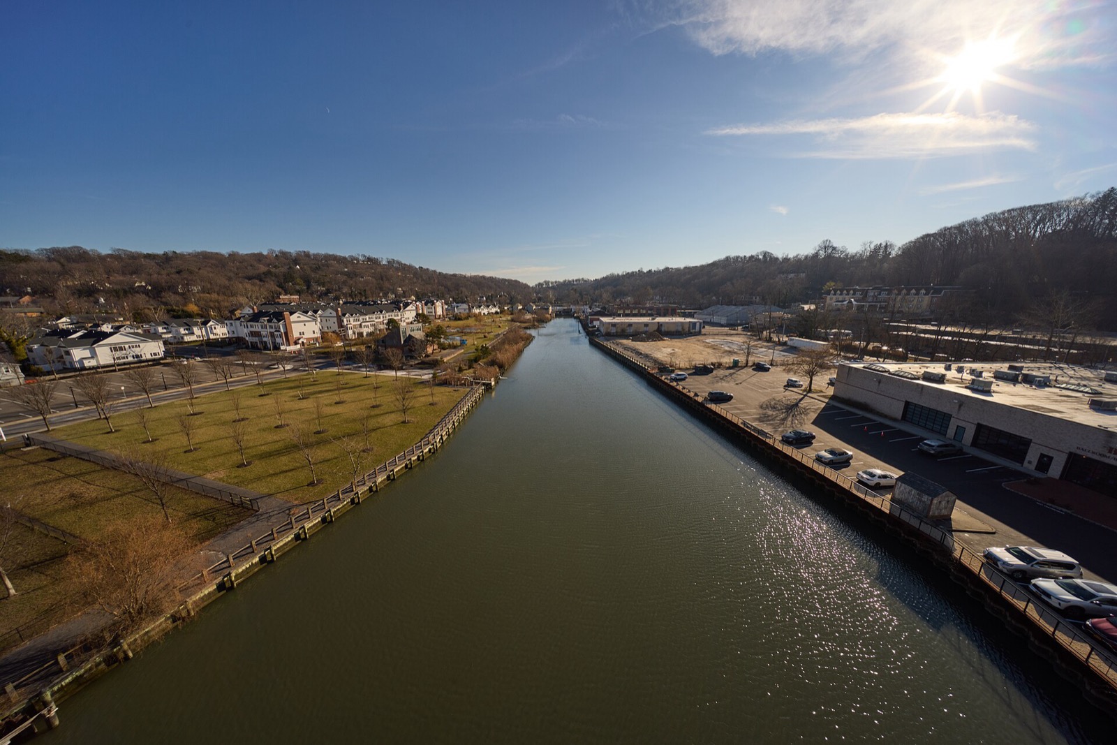
The Village of Sea Cliff covers flood rules in Chapter 68 of its code, Flood Damage Prevention, at sections 68-1 to 68-23. The Board of Trustees adopted it on 8-10-2009 as L.L. No. 7-2009. The chapter covers the basis for establishing areas of special flood hazard, standards for residential structures outside coastal high-hazard areas and the duties of the local administrator. Read the chapter in the village code on eCode360, and see the Sea Cliff town guide for the harbor and beach context.
Questions buyers ask
How to tell if a property is in a FEMA flood zone?
Start with the community's flood map. The FEMA Flood Map Service Center is the online location for all flood hazard mapping products created under the National Flood Insurance Program, including a community's map. Flood zones are marked on that map.
Where can I find my local flood risk zone?
The FEMA Flood Map Service Center holds each community's flood map. The Town of Oyster Bay participates in the National Flood Insurance Program and lists FEMA flood maps under its Planning and Development department. Check annually, because zones can change.
What are all the FEMA flood zones?
FEMA lists five risk levels: low, moderate, high, coastal high and undetermined. Zones A, AE, AH, AO, AR and A99 are high risk, V and VE are coastal high risk, B and X moderate, C and X lower, and D undetermined.
What is Zone AE on a FEMA flood map?
Zone AE is one of six high-risk flood areas, with A, AH, AO, AR and A99, tied to proximity to a pond, stream, river or a protective barrier under construction.
Are there new FEMA flood maps?
FEMA is updating the Town of Oyster Bay flood maps, per the town's Planning and Development page seen on 2026-10-20. After a community adopts new maps, anyone can submit data to amend or revise the flood map through the Letter of Map Change process.
Read next
Towns
Living in Sea Cliff, NY: Taxes, Schools, Commute, Homes
Sea Cliff, NY by the numbers: Census income and home values, village tax rate and due dates, North Shore schools, the LIRR station and harbor access.
Buying
Nassau County Property Taxes Explained: How Bills Are Set and Where They Go
How Nassau County property tax bills work: assessment times rate, the school, county and town split, the 6% cap, Oyster Bay due dates and ways to cut a bill.
Buying
Buyer Closing Costs on Long Island: Transfer, Mansion and Mortgage Tax
Who pays New York's transfer tax and mansion tax, how the mortgage recording tax works in Nassau County, and which Clerk recording fees apply to a purchase.
Sources
- Flood Zones - FloodSmart (via Wayback) · FEMA National Flood Insurance Program (FloodSmart) · floodsmart.gov · checked October 20, 2026
- Flood Maps - FEMA (via Wayback) · Federal Emergency Management Agency · fema.gov · checked October 20, 2026
- Planning and Development - FEMA Flood Maps, Town of Oyster Bay · Town of Oyster Bay, NY · oysterbaytown.com · checked October 20, 2026
- Village of Sea Cliff Code, Chapter 68 Flood Damage Prevention (via Wayback) · Village of Sea Cliff, NY (eCode360) · ecode360.com · checked October 20, 2026
Photos (2)
- Antony-22, CC BY-SA 4.0
- D. Benjamin Miller, CC0


Tax rates, fees and schedules change every year: each note shows the date it was checked. How we check facts · Report an error.